

← All products03 / 07
Pointiful
A CMS for map-driven websites.
Role
Co-founder, engineerJun 2020 – Jun 2023
Status
Offline since 2023
In numbers
2 election cycles · every candidate on the map · covered by NRC
Hosted on
Frontend serverless on AWS, backend in Docker
Stack
DjangoWagtailNext.jsreact-map-glPostgreSQLNudeNetAWS ServerlessDocker
The problem
Geographic data is everywhere and unreadable: candidate lists, municipal facilities, points of interest. Nobody builds a map website per dataset.
What I built
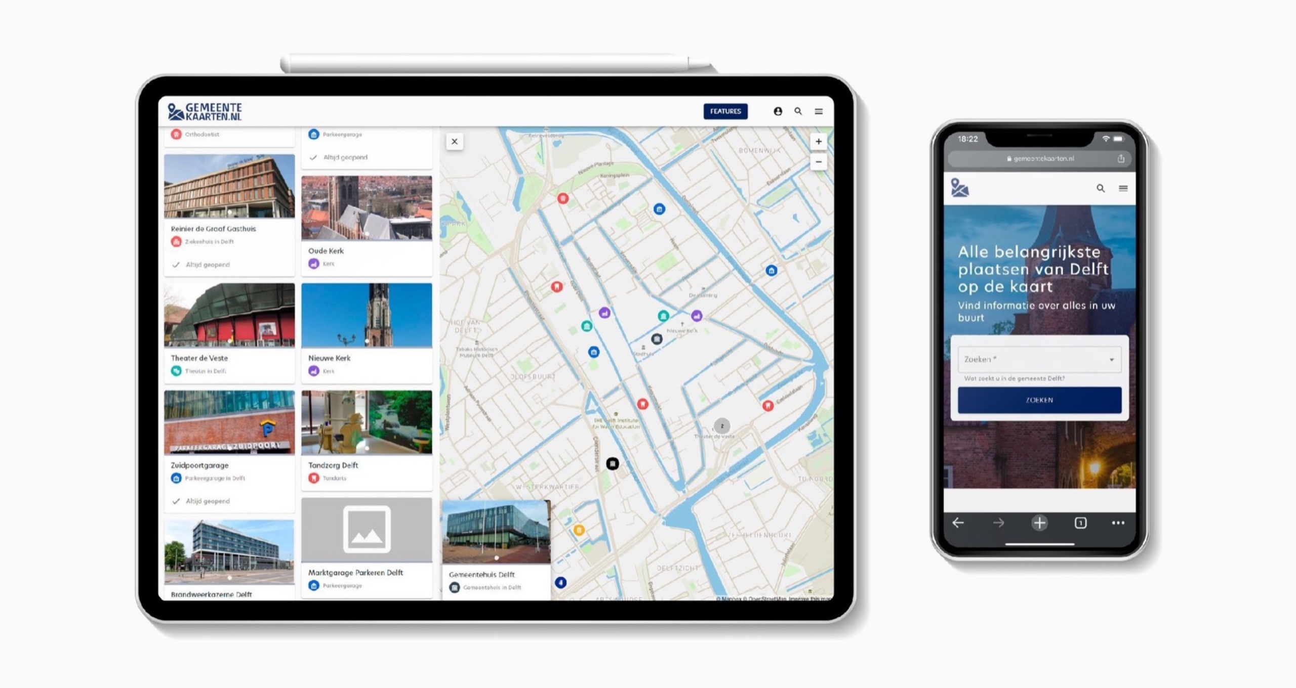
A CMS for map-driven websites: places, their content, and one frontend that serves many domains. It powered Kandidatenkaart.nl, every candidate of two elections on a map, and Gemeentekaarten.nl.
Outcome
Covered by NRC, supported by the SIDN fund, used in two election cycles.
Making complex data simple for very different audiences is a design problem first and a technical problem second.what I took from it
How it was built
Decisions
- One Next.js app serves every site and picks content by hostname. A new map website is a database row, not a deployment.
- Wagtail gives editors pages and entities; a separate service holds Dutch geography. Uploads pass an NSFW check before going live, because an election site gets exactly the uploads you would expect.
- Frontend serverless on AWS, backend in Docker. Election night is the traffic spike; the rest of the year is quiet, and the bill should follow that curve.
Timeline
- 2020Accounts, dashboard, CMS plugins
- 2021Entities on the map; national election map in March
- 2022Municipal election map, Gemeentekaarten
- Jun 2023Taken offline